
Maps
Use the resources below to explore maps of the City of Port Moody.
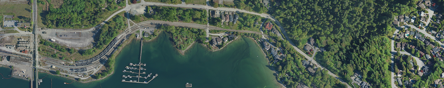
ViewPort
ViewPort, the City’s web-based mapping system (also known as a geographic information system or GIS), is now easier to use whether you’re at home, at work, or on the go!
Newly updated, ViewPort now:
- has an intuitive and easy-to-use interface with quick rendering – it’s now simpler and faster to find what you’re looking for;
- supports a variety of mobile devices – access it on your tablet or smartphone;
- includes a “draw” feature so you can mark up the map with your notes and print as a PDF file;
- gives you the option to view, in a table, the detailed information contained in the map layers (e.g. watermains, watercourses, zoning designations, heritage properties/areas, solid waste collection zones); and
- gives you the option to download datasets from the City’s Open Data Portal for exporting to various formats (e.g. shapefile, Keyhole Markup Language, spreadsheets).
Learn more from our ViewPort Reference Guide, ViewPort FAQs, or contact us as at planning@portmoody.ca if you have any questions or feedback.
Maps for sale
Please see the City of Port Moody Fees Bylaw for a list of available mapping products and fees under the Information Services section.
Please email us at bylaw@portmoody.ca if you’d like to purchase a map or call 604.469.4540.
Contact Us
Planning Division
Second Floor
100 Newport Drive
Port Moody, B.C.
V3H 5C3
604.469.4540
Email
Map this location