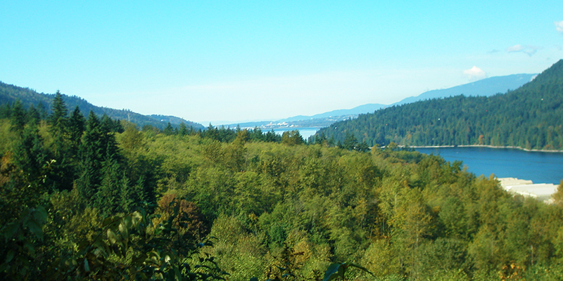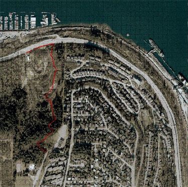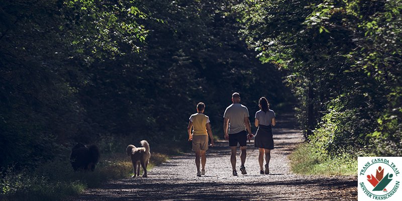
The Alfred Howe Greenway is an intermediate/difficult urban nature trail that provides a scenic connection between the Glenayre and College Park neighbourhoods and the waterfront. This gravel trail rises and falls steeply through ravines before descending the bluff of Burnaby Mountain. Stairs are located at several points alongside the gravel trail.
Trail location
The trail is 2.2km round trip. You can access the trail at an upper (south) access point located off the Westhill Park parking lot (203 Westhill Place) or the lower (north) access off the Barnett Highway approximately 100m west of the Reed Point Way intersection. The trail connects with the Trans-Canada Trail at Reed Point Way.
About Alfred Howe
Alfred Howe was Mayor of Port Moody from 1964 to 1971. During his tenure, the Port Moody Boat Launch Ramp, the Moody Street Overpass and the Centennial Library were established.
Topographical trail maps
View our topographical maps of the Alfred Howe Greenway trail to familiarize yourself with the area.


