
New Trail Network Plan will guide decision-making as City preserves and enhances trails over next 30 years
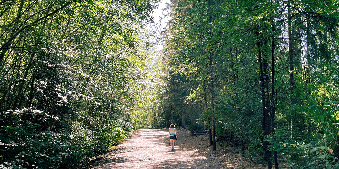
Port Moody’s trails provide a vital connection to nature, facilitate healthy living, and help to create and maintain a sense of community. With Council’s endorsement of the Trail Network Plan on September 9, 2025, the City is committing to a 30-year vision to enhance and expand this highly valued community asset.
“Our trails provide opportunities for recreation and exercise, social connection, and enjoyment of nature, and they’re an important part of the city’s active transportation network, linking different parts of the community,” says Mayor Meghan Lahti. “The Trail Network Plan will guide us in our decision-making as we preserve and enhance the trail experience for all users.
“It is a carefully considered plan that supports the City’s climate action goals by promoting active transportation and adapting infrastructure to withstand climate impacts such as changing precipitation patterns, rising sea levels, and extreme weather events. The Plan also emphasizes stewardship and inclusivity, ensuring trails are safe, accessible, and respectful of culturally and environmentally sensitive areas. It reflects the voices of residents who care deeply about preserving these spaces for future generations.”
The Trail Network includes a vision, guiding principles, and an action plan. Proposed actions are intended to help the City reach the following four goals:
- provide a high-quality experience to a variety of trail users;
- connect the community to provide recreation and active transportation opportunities for all;
- protect culturally and environmentally sensitive areas and resources; and
- encourage and support stewardship of Port Moody’s trails and the environmentally sensitive areas they travel through.
Each action is assigned an implementation priority and estimated cost to guide implementation.
The Plan also presents a proposed trail network extension that includes:
- more authorized trails in parks and green spaces;
- more connections between parks;
- improved urban multi-use paths/bike routes, including through greenways and park connections,to connect Pleasantside with Belcarra, and the Glenayre, Seaview, and College Park neighbourhoods with Moody Centre and with Burnaby Mountain and Coquitlam trails; and
- desired trail and urban route connections in areas where further studies will be required to confirm the feasibility of establishing new trails.
The development of the Trail Network Plan included an analysis of Port Moody’s current trail network. The City identified gaps in access and connectivity as well as needs associated with changes in the city’s population, user demands, and best management practices. The Plan seeks to address these gaps and needs.
Public engagement, conducted in two phases, informed the Plan’s development. In Phase 1, residents were invited to provide feedback on the current trail network and suggestions for improvements via an interactive online map, trailhead pop-up events, and a community survey. In Phase 2, the City sought feedback on key components of the draft plan via an online information session and a community survey. Visit engage.portmoody.ca to find out what we heard from the community in each phase.
The full Trail Network Plan document is available at portmoody.ca/trails.
Contact Us
City Hall
100 Newport Drive
Port Moody, B.C.
V3H 5C3
604.469.4500
Email