
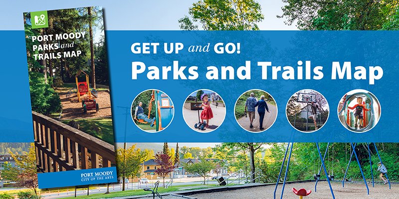
Get up and go this summer with our new parks and trails map
We’ve updated our parks and trails map to help you get up and go this summer!
With over 35 per cent of its land dedicated to green space, Port Moody has a wealth of beautiful parks and trails for everyone to enjoy. You’ll find great places to play all year round. Every corner of our city has something to offer, and we hope our updated map will help you find a new favourite spot.
There are two easy ways to access the new map:
PRINTED MAP
Port Moody residents can get a printed copy of the map with the June 17 edition of the Tri-City News. It includes an at-a-glance list of amenities including basketball courts, pollinator gardens, playgrounds, spray parks, and off-leash dog areas. Inside, we feature hiking and biking trails for all fitness levels, and highlight five feature parks that are ready for you to explore. You can also scan the QR code to explore our new interactive parks map. Additional printed maps are available at City Hall and the Port Moody Public Library (100 Newport Drive).
INTERACTIVE MAP
Go to portmoody.ca/parksmap to check out our brand new, easy-to-use interactive map that highlights 31 parks and 21 trails. This online map lists features and facilities, along with beautiful photos that show off all the city has to offer
Please use parks and trails responsibly: the City reminds residents and visitors that alcohol, smoking, and open fires (including fire pits and campfires) are not permitted at any time.
Plan your summer adventures today with the Port Moody Parks and Trails Map!
Contact Us
City Hall
100 Newport Drive
Port Moody, B.C.
V3H 5C3
604.469.4500
Email